eartHeritage – PRIN 2022JL5HLY

Site Information

Gawr Tepe

General description

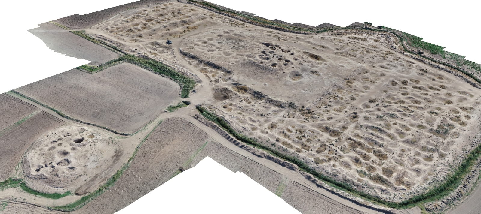
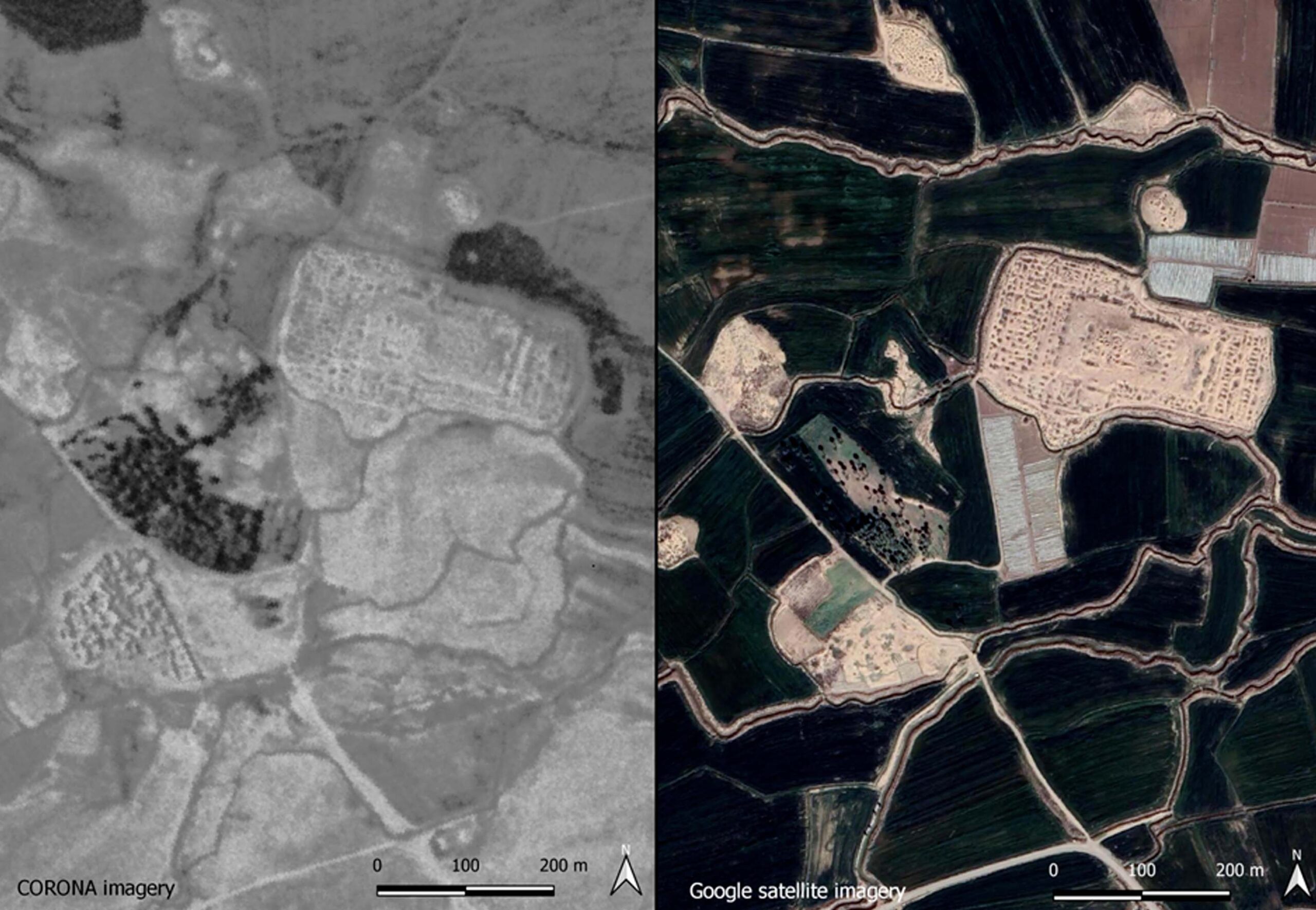
Gawr Tepe is a large multi-phase archaeological settlement located on the Khanî Masî Plain in the Upper Diyala (Sirwan) Valley, approximately 8 km south of Kalar, within the Khanaqeen District of the Kurdistan Region of Iraq. Covering an area of approximately 5 km², the site consists of two principal mounds, Gawr Tepe A and Gawr Tepe B, together with numerous smaller mounds that form part of a broader urban and cultural landscape.

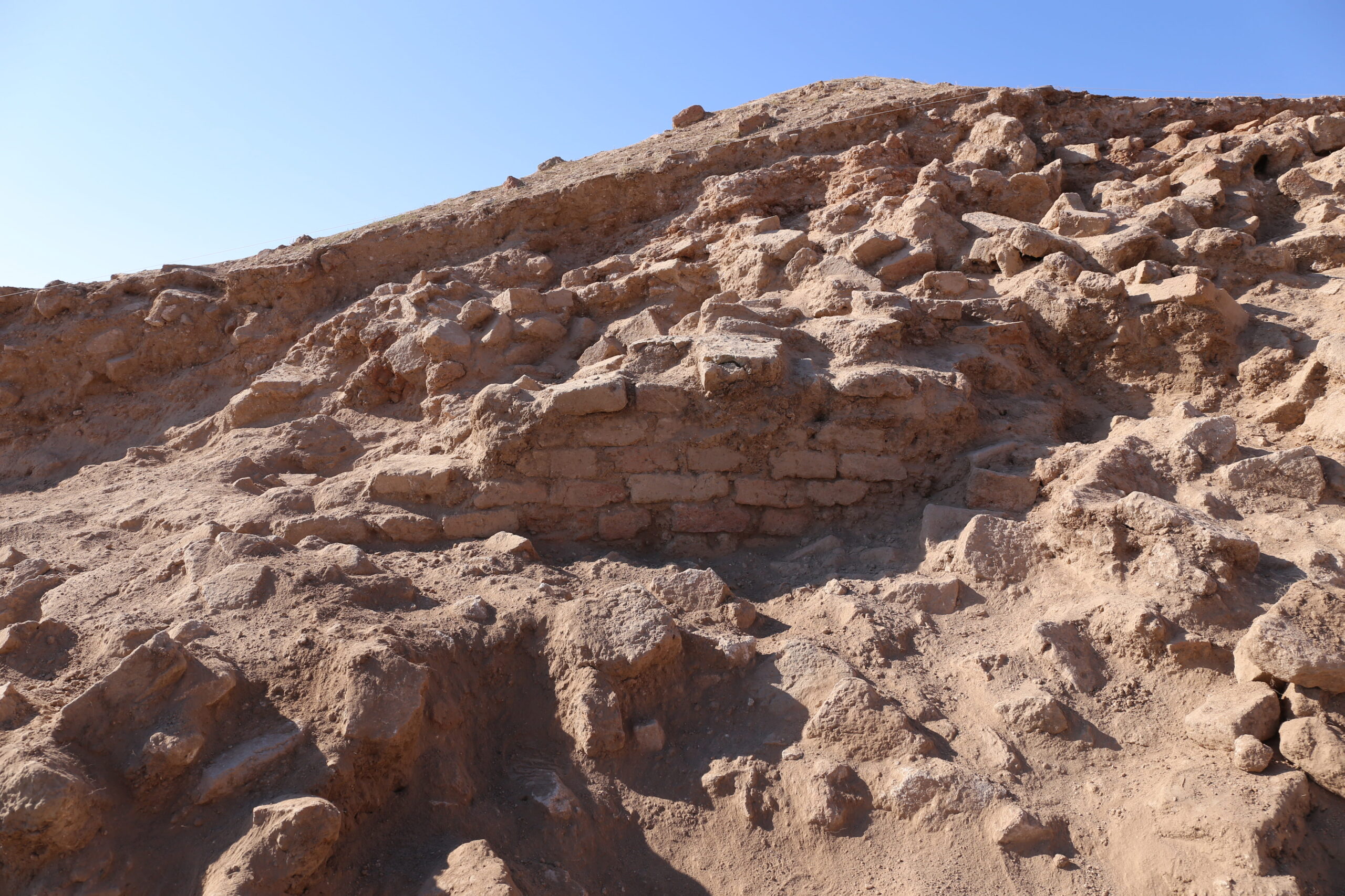
As one of the most significant archaeological landmarks in the Garmian region, Gawr Tepe occupied a strategic position along routes linking Mesopotamia with the Iranian Plateau. The site is particularly notable for the remains of a monumental Sasanian palace constructed on a massive rectangular terrace and featuring vaulted corridors, plastered floors, and elaborately decorated stucco panels.

Archaeological investigations have revealed continuous occupation at least from the Late-Sasanian period (6th–7th century CE), followed by reuse during the Early and Middle Islamic periods (8th–13th century CE), and a later phase of reoccupation that may date to the Ottoman era. Despite its importance, the site suffered extensive spoliation and damage during the twentieth century.

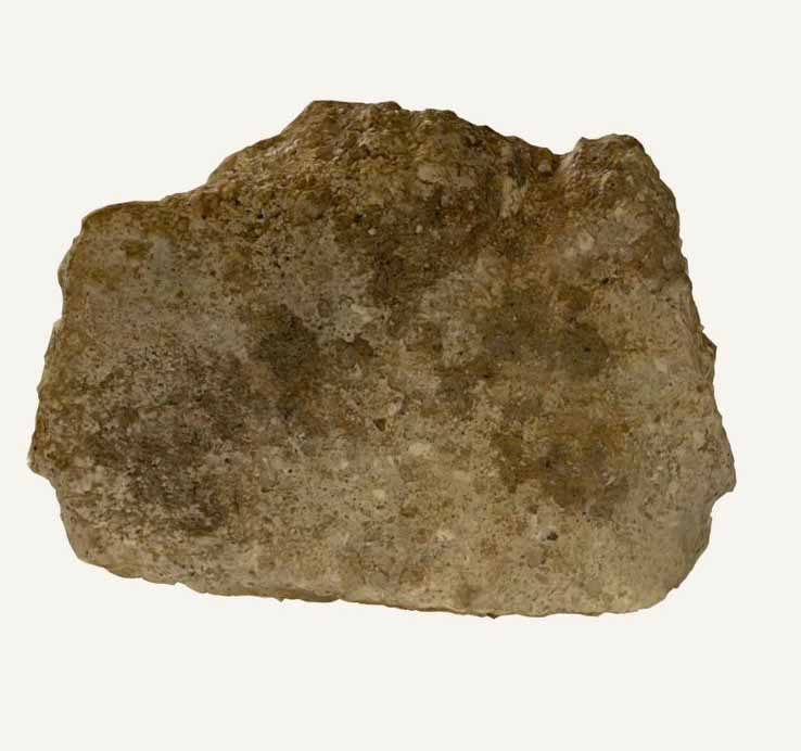
Material evidence recovered from the site includes architectural stucco decorations, locally produced and imported ceramics linked to exchange networks across Iraq and the Iranian Plateau, stamped Sasanian pottery, a sixth-century Byzantine follis, and an Ottoman clay pipe. Together, these finds illustrate the site’s long-term occupation, regional significance, and participation in wider economic and cultural networks over more than a millennium.

Data Site

Site conservation

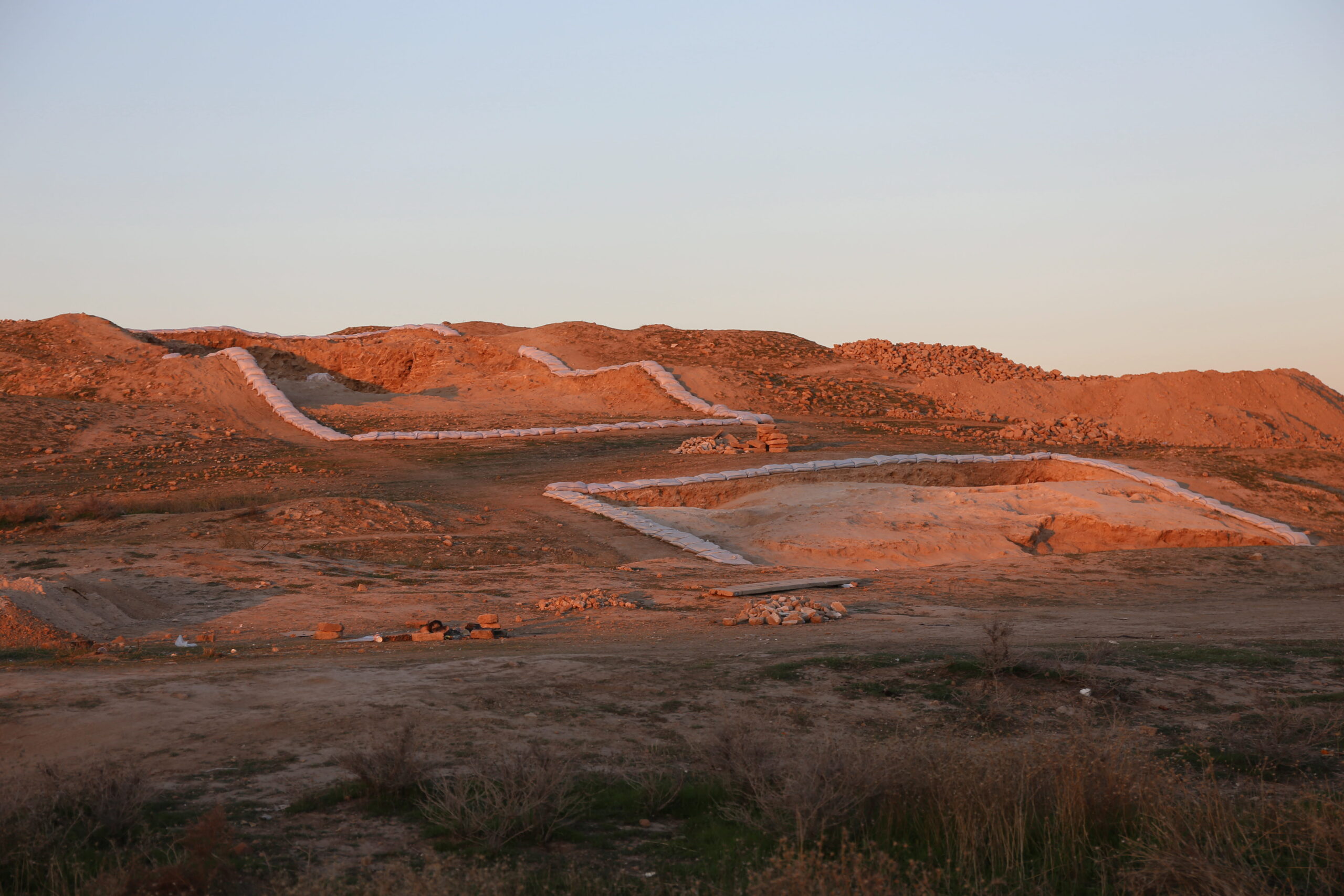
Threatened by: agricultural expansion, erosion, extensive modern and historical looting (mid-20th century, 1990s, 2016). Emergency documentation and stratigraphic excavation began in 2023–2024 to protect the site.

Location

The site is located on the Khanî Masî Plain in the Upper Diyala (Sirwan) Valley, approximately 8 km south of Kalar, in the Kurdistan Region of Iraq.

Geographic coordinates

34.546267, 45.321000

Cultural context

Sasanian and Islamic

Historical period

Sasanian → Early Islamic → Middle Islamic → Ottoman period

Chronology range

Sasanian (3rd–7th c. CE) – Late Islamic / Ottoman (post-13th c.)

Relative chronology

Gallery

Site Plans and Photographs

Bibliography

Casana, J., Glatz, C. 2017. The Land Behind the Land Behind Baghdad: Archaeological Landscapes of the Upper Diyala (Sirwan) River Valley. Iraq 79: 47–69.

Colliva, L., Mancini, S. and Sameen, S.M. (2023) ‘Gawr Tepe: A New MiSAK Project in Iraqi Kurdistan’, East and West, 63(2), pp. 25–45.

Colliva, L. 2025. “Garmian (KRI, Iraq) tra Iran e Mesopotamia: indagini preliminari sul paesaggio storico-archeologico di periodo partico-sasanide.” Quaderni di Meykhane XV/1 (special issue).

Colliva, L., S. Mancini, et al. 2025. “Il Palazzo di Gawr Tepe (KRI, Iraq), studio diacronico di un palazzo e del suo contesto storico-archeologico.” OCNUS 33: 279–284. [Also published in English, pp. 275–280.]

Colliva, L., S. Mancini, and A. Tirincanti, eds. 2025. Tracce e percorsi, le nuove scoperte della Missione Storico Archeologica Italiana in Kurdistan. Sesto Fiorentino: All’Insegna del Giglio. ISBN: 978-88-9285-335-5.

Colliva, L. and Mancini, S. (2026) ‘Gawr Tepe and Its Archaeological Landscape: Continuity and Transformation in the Garmian Area from the Sasanian Period to the Early Islamic Conquest’, Aran Journal for Languages and Humanities, 2, pp. 13–22.

Colliva, L., and S. Mancini. Forthcoming a. “Stucco Productions from Gawr Tepe (KRI, Iraq). Preliminary Results of a MiSAK-eartHeritage Multidisciplinary and Comparative Study.” In Connecting Stucco from the Mediterranean to Central Asia: Methodological Approaches and the State of Research.

Colliva, L., and S. Mancini. Forthcoming b. “Gli stucchi del complesso palaziale di Gawr Tepe (KRI, Iraq). Le campagne MiSAK 2023–2025.” In Studi Iranici Ravennati.